Historic Hoxton
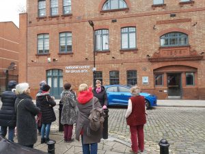
Hoxton and Shoreditch today are often known as fashionable parts of east London, areas to eat out in and go clubbing. It’s also an area of astonishing contrasts from post … Read more
Hoxton and Shoreditch today are often known as fashionable parts of east London, areas to eat out in and go clubbing. It’s also an area of astonishing contrasts from post … Read more
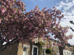
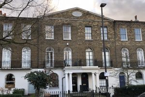
De Beauvoir lies in today’s London Borough of Hackney and is still sometimes called ‘Kingsland’ because Henry VIII hunted here. It is distinct from but nestled up close to Dalston, … Read more
** CANCELLED DUE TO ILLNESS, APOLOGIES FOR SHORT NOTICE ** ‘Beating the Bounds’ to mark and confirm the borders between parishes is an ancient tradition, where the border was literally … Read more
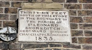
This boundary walk between Hackney and Islington boroughs weaves around the areas either side of Regent’s Canal, City Rd basin and City Rd. ‘Beating the Bounds’ to mark and confirm … Read more
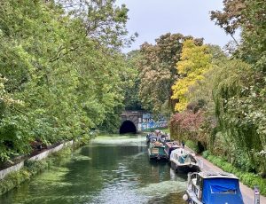
From Islington’s busy Upper Street to a series of canal basins and ending on a Roman road. This walk winds along the canal through north/north east London from Islington to … Read more
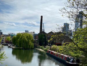
A weekday winter’s morning canal walk, strolling east from the Angel and ending near Hoxton Join me to explore a beautiful canal stretch, passing historic warehouses, canal basins, weirs, locks, … Read more
A weekday winter’s morning canal walk, strolling east from the Angel and ending near Hoxton Join me to explore a beautiful canal stretch, passing historic warehouses, canal basins, weirs, locks, … Read more
From Islington’s busy Upper Street to a series of canal basins and ending on a Roman road. This walk winds along the canal through north/north east London from Islington to … Read more
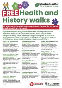
This walk is one of a series run by Islington Guided Walks in conjunction with Islington Council. They are shorter, gentler walks than my more typical 2 hour plus guided … Read more
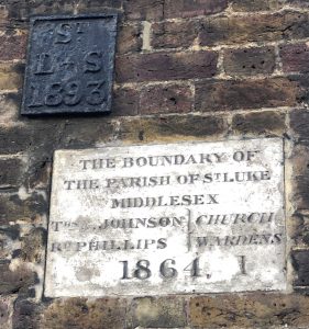
This boundary walk between Hackney and Islington boroughs weaves around the areas either side of Regent’s Canal, City Rd basin and City Rd ‘Beating the Bounds’ to mark and confirm … Read more