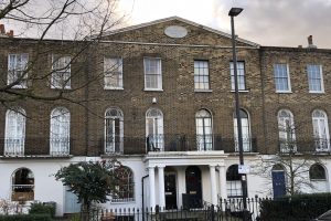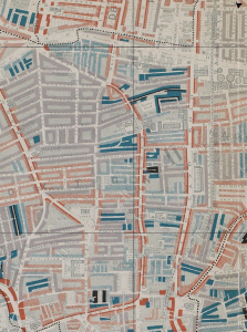
Dalston, Newington Green and Mildmay
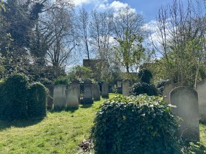
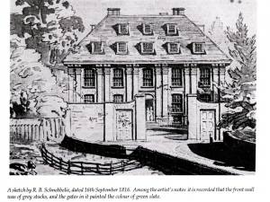
Apologies, cancelled, plan to reschedule. A walk circling the Hackney and Islington border north-east of Dalston. An amazingly diverse area including an ancient leper hospital, a disused Jewish cemetery, a … Read more